Introduction
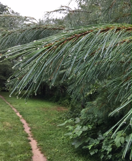
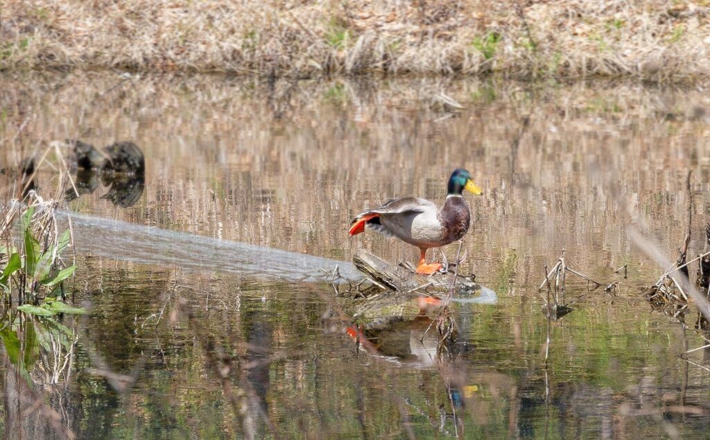
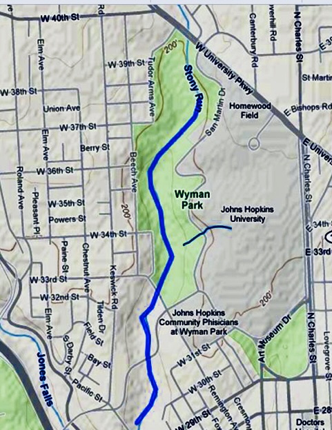
Wyman Park is bounded by University Parkway on the north and Sisson Street to the south. Row houses and apartment complexes abut the site on its long western border, while Johns Hopkins University is located to the east. The landscape’s irregular shape is determined by the Stony Run stream that winds through the park which is populated with native beech, poplar, and oak trees.
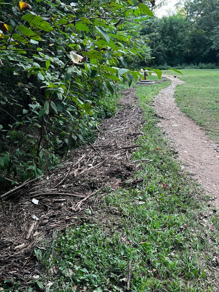
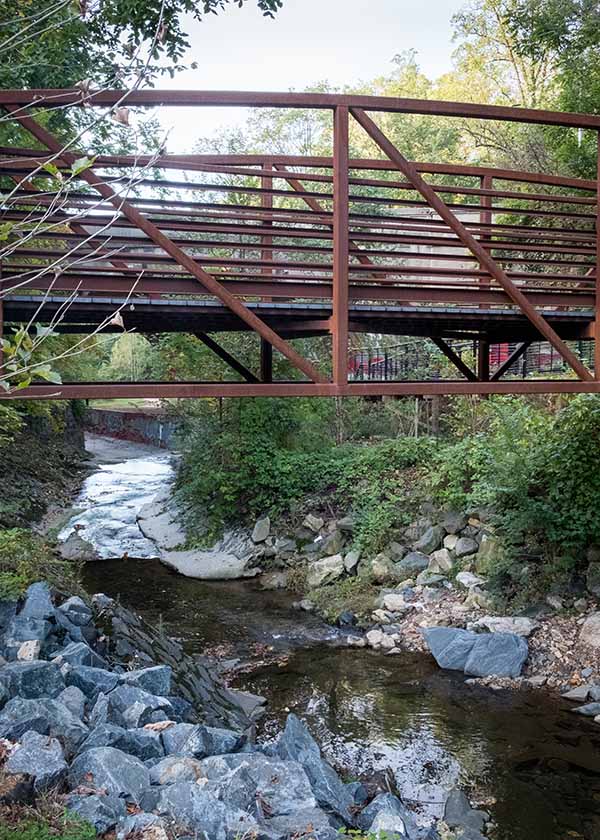
An unpaved walking path runs parallel to the streambed, retracing the route of the Maryland and Pennsylvania Railroad that traversed the valley from 1901 to 1958. Recreational fields are found at the northern and southern entrances to the park. An overhead bridge passes over Stony Run at Remington Avenue, providing additional connectivity for neighborhoods to the east and west. San Martin’s Drive curves from north to south along the park’s eastern boundary, connecting to the Wyman Park Dell.
1986 Lease Agreement
Wyman Park, east of the Stony Run was given to Johns Hopkins University by the City. The neighborhoods around Wyman Park strongly protested this arrangement. The following agreement was agreed to between Baltimore City Recs and Parks and Wyman Park Neighborhood Association to protect the eastern portion of the land as a park.
The Wyman Park Community Association (WPCA) and BCRP signed a leasing agreement, dated November 14, 1986, on an area of Wyman Park with Johns Hopkins University in order to allow Hopkins to use its fields on campus, initially, as a staging area for new construction and then for location of a new building. This agreement stipulated:
-
A portion of Wyman Park is leased for use as intramural athletic fields.
-
The term of the agreement is 99 years with automatic renewal for an additional term of 99 years.
-
The rent is $1.00 per year.
-
Hopkins will develop and maintain the fields and will provide the Director of Parks with a schedule of their use.
-
The City retains the right to use the fields at all times they are not scheduled for use by Hopkins.
-
The general public may use the fields on a first come, first serve basis at times when scheduled events are not taking place.
1902
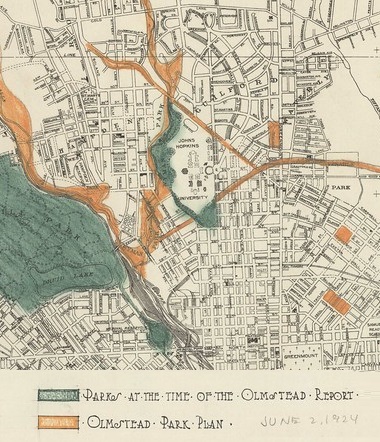
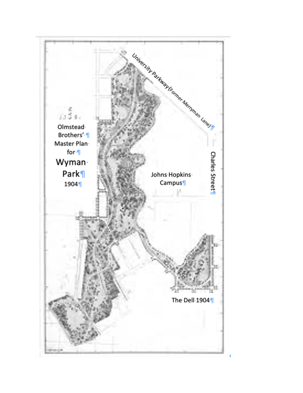
1902: Olmstead’s plan for Baltimore’s Parks in 1902 singled out the Wyman Park section with its “old beech trees and bold topography” as “the finest single passage of scenery in the whole valley.” The Report also contended that “there are few spots so near any large city that equal it.”
Wyman family purchased the estate in 1839 and donated the property to Johns Hopkins University in 1902 for use as a campus. That same year, the university gave the remainder of the land to the City of Baltimore to serve as a public park.
1903-1947
Wyman Park and the Stony Run Stream valley demonstrate the premier design work of the Olmsted Brothers. The influential landscape architecture firm was established in 1898 by brothers John Charles Olmsted and Frederick Law Olmsted Jr., sons of the eminent landscape architect Frederick Law Olmsted. The Municipal Art Society hired them to produce the City’s first comprehensive park system plan in 1904, the Development of Public Grounds for Greater Baltimore Report.
In it’s vision for Wyman and the Stony Run Stream Plan for Baltimore, the Olmsted Brothers firm advised that most of the land, located within the Stony Run valley west of the university, be used as a stream valley reserve. The city then extended the reserve’s southern boundaries to enable a linkage to Druid Hill Park via the Gwynns Falls Parkway.
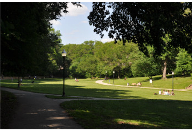
Another portion of the land became the sixteen-acre Wyman Park Dell, meant to serve as an entrance to the valley from the southeast. The Dell today is much as it was when originally conceived in 1905. The Dell is noted for its steep enclosing slopes and a large, sweeping lower lawn.
1961
1961: Some 31 acres of parkland between Stony Run and St. Martins Drive were sold back to Johns Hopkins University for development in the 1960s. University buildings began to fill in smaller green spaces in the area. Both main sections of Wyman Park remain valuable natural preserves for their surrounding neighborhoods and the city as a whole.
2010 - Present
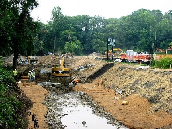
2010-2023 Stony Run Walking Path
The Stony Run Walking Path was developed between Northern Parkway to 29th Street.
More information about the walking path.
https://tuscanycanterbury.org/projects/stony-run/
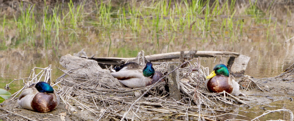
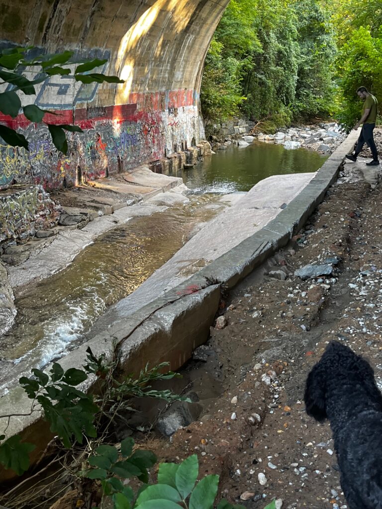
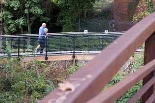
Photo Gallery: Wyman Park